Montaigle Castle

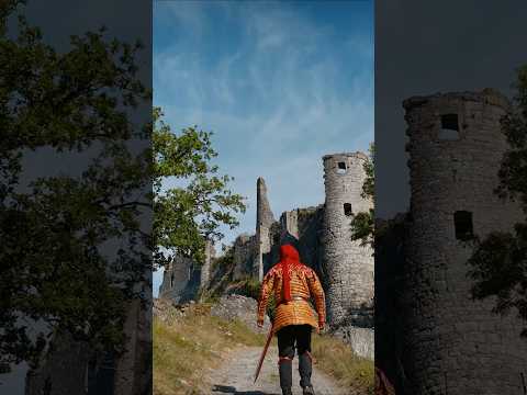
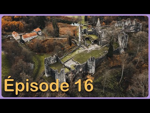
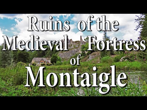
Montaigle Castle is a ruined medieval fortress located in Falaën, within the municipality of Onhaye in the province of Namur, Wallonia, Belgium. Perched dramatically on a rocky spur, the structure overlooks the converging valleys of the Molignée and Flavion rivers. The site holds deep historical roots, having originally served as a Belgo-Roman fortification during the Late Roman period before the construction of the medieval castle. The current stone structure was erected in the 14th century, establishing a strategic defensive position that would dominate the local landscape for several centuries.
The castle's military significance ended violently in 1554 when it was destroyed by the forces of Henry II of France. Since that destruction, it has remained in a ruined state, yet it retains substantial historical and archaeological importance beyond its medieval era. In 1867, geologist Édouard Dupont studied the caves within the rocky spur for the Belgian government, discovering prehistoric remains that led to the identification of the "Montaiglian" layer. This classification was later renamed the Aurignacian, marking the site as a crucial location in understanding early Cro-Magnon civilization, predating similar French discoveries.
Today, Montaigle Castle stands as a protected heritage site in Wallonia, preserved as a testament to both medieval military architecture and prehistoric human activity. While the castle itself is a ruin, the surrounding area and its caves continue to attract interest from historians and archaeologists. The site is associated with the Friends of Montaigle organization, which helps maintain awareness of its dual legacy as a 14th-century stronghold and a pivotal Paleolithic archaeological zone.
Videos
Details
- Notes
- château fort
- Location Text
- Falaën, Onhaye